People with GIS skills are in high demand across a broad range of professions; in government, business and nonprofit organizations worldwide. Help support the GIS Lab.
We provide options to learn mapping, addressing geocoding, spatial query, data download, and other practical GIS skills.
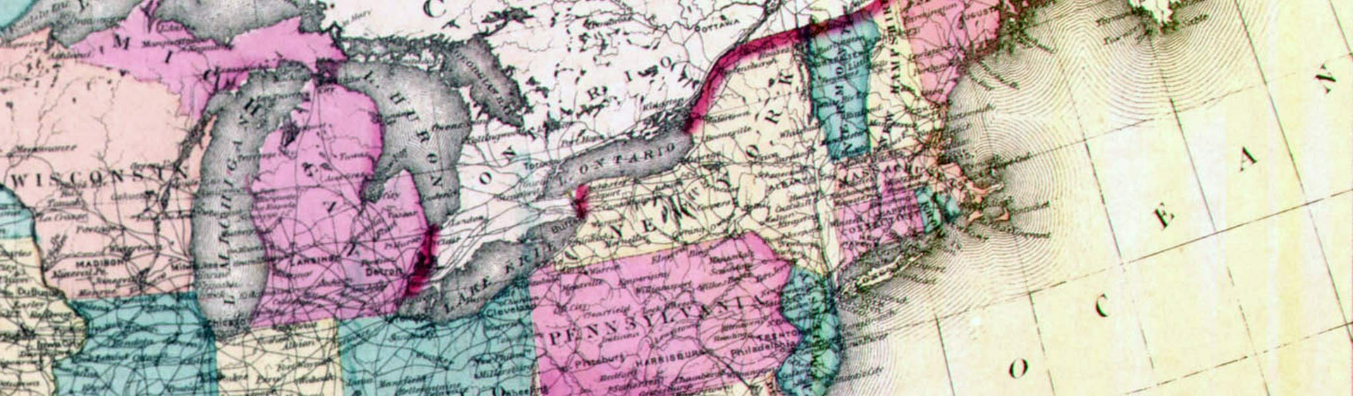
What is GIS?
Geographic Information Systems offer a dynamic digital environment for visualizing, analyzing, and sharing geographic information.
Why do I need to learn GIS?
People with GIS skills are in high demand across a broad range of professions, in government, business and nonprofit organizations worldwide.
GIS allows you to:
- find spatial data
- analyze data using geospatial methods
- map information
- share maps on the internet
What can GIS do for me?
GIS provides a whole new way to explore the world you are living in. Using GIS, you have ability to access, acquire, analyze, and display information in the forms of Maps, 3 Dimension Simulation, Tables, and Figures.
GIS Lab
GIS Lab
The GIS Lab offers courses tailored for students at all levels as well as GIS workshops for professionals on and off campus. The GIS Lab also serves as a geo-spatial data depository for the central Illinois region.
Poster and Map Printing
The GIS Lab provides support in customized poster/map production for a charge. Our staff can help you generate well-designed posters and maps that meet your specific needs. For inquiries about printing or map-making, please contact us.
Project Focus
The GIS Lab is doing a wide range of research projects both externally funded and internally funded. Students are actively involved in these projects.
Resources
Useful Resources for GIS Education and GIS Career
- The University Consortium for Geographic Information Science (UCGIS) is a nonprofit organization of over fifty universities and other research institutions.
- MidAmerica GIS Consortium, Ltd (MAGIC) is a nonprofit educational organization established to foster the applications of geographic information systems.
- Urban and Regional Information Systems Association (URISA) is a nonprofit organization that provides educational experiences, a connected community, and the resources you need to be successful in your career.